
STUDIES are underway into what effect a breakwater near the Olivers Hill, Frankston boat ramp will have on surrounding beaches.
Previous studies linked to a marina stretching hundreds of metres into the bay have shown it could affect beaches as far north as Mordialloc and a close as Daveys Bay, Mt Eliza.
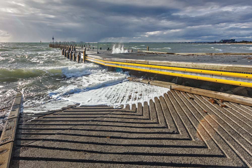
The latest research – bathymetric surveys, a hydrographic survey and modelling of sand and tidal movements – follow Frankston Council’s 2017 decision to “develop a coast guard and boat refuge”.
The mayor Cr Colin Hampton issued a statement “to address some areas of concern or confusion” surrounding the council’s intentions of building a breakwater at Olivers Hill.
He said the breakwater would “provide protection for small boat users accessing the boat ramp in all weather conditions, it would also enable the Coast Guard vessel to have a protected permanent anchorage, resulting in improved response times to emergencies in the bay and safer transfer of rescued individuals to hospital”.
“The impact from strong waves and the potential damage to a vessel should it be moored to the pier during rough weather could potentially become fatal,” Cr Hampton said.
“With these risks in mind, it is necessary to consider a breakwater, which has been used effectively in numerous locations across Port Phillip.”
Cr Hampton said the studies, or fact finding exercises, “will inform the feasibility and likely impact of options to create a boat refuge or calm water area around the Olivers Hill boat ramp”.
A Coast Guard centre near the boat ramp “would be ideally located close to the vessel’s anchorage and where fishermen and small boat users enter and leave the bay using the recently redeveloped Olivers Hill boat ramp”.
“Council recognises that detailed investigative work is required before any plans are considered, including any alternatives, which will take into account community consultation and feedback,” Cr Hampton said.
An announcement of the start of “hydrological, planning and other environmental studies” into a safe boat harbour at Olivers Hill was made 15 months ago by Federal Dunkley Liberal MP Chris Crewther (“Safe harbour gets the green light” The Times 19/2/17).
At that stage the studies will determine the further detail for stage two of the project, “being the construction of the project”.
Mr Crewther said federal grant of $500,000 would go towards the studies and part of the construction of the harbour at Olivers Hill.
He said the “safe boat refuge” would provide safety for small recreation craft in heavy weather, and a secure permanent mooring in 2-3 metres depth for the Frankston Volunteer Coast Guard rescue vessel, and potentially police boats.
Mr Crewther asked for the $500,000 before the 2016 federal election.
He said KBR Commercial will design a concept plan by July at the latest and the council construction tender will then go out to market. Construction is planned to begin by May 2019.
The safe boat harbour will include a breakwater with access for emergency vehicles, plus lighting and CCTV.
Stage one including hydrological studies and the concept plan will cost $253,000 and the remainder of the $500,000 will go towards construction when the scope of the project is known.
“Council will co-contribute to the project as required depending on the length of the breakwater,” Mr Crewther said.
“It really depends what is needed to protect the boat ramp there and to provide a permanent mooring opportunity for the Coast Guard and Water Police.”
The safe boat refuge is separate from a long-floated idea to build a $38-$80 million marina to be “a regional boating hub”.